

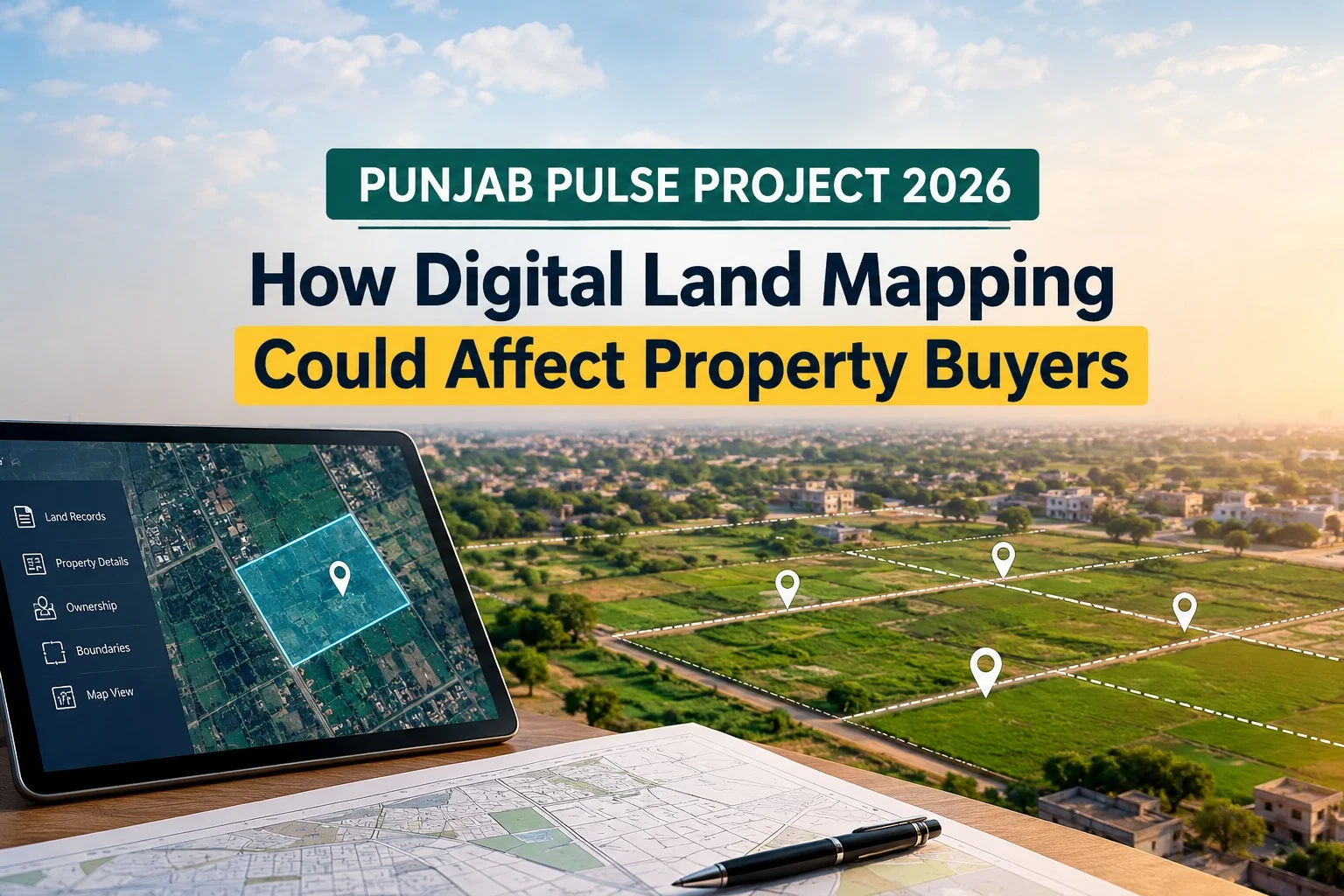
Buying property in Punjab requires more than checking the price and location. Buyers also need to verify ownership records, land boundaries, transfer documents, and legal status. The Punjab Urban Land Systems Enhancement (PULSE) Project aims to improve how land information is recorded, mapped, and accessed across the province.
Through digital land mapping and improved property records, the project could make property verification more transparent and help identify discrepancies in land ownership. However, buyers should understand what the project can do, what it cannot guarantee, and how to protect themselves before purchasing a plot or house.
What Is the Punjab PULSE Project 2026?
The Punjab Urban Land Systems Enhancement (PULSE) Project is a government initiative designed to improve land administration and modernise property records across Punjab.
According to the official PULSE website, the project aims to establish a unified land information system, develop digital cadastral maps, improve access to urban land records, and digitise property registration documents.
Its major components include:
- Digitising land records and registry deeds.
- Creating cadastral maps linked to digital property records.
- Improving information about urban, rural, and peri-urban land.
- Developing integrated land information systems.
- Identifying public land that may support urban development and housing programmes.
These measures are intended to make land information more accessible and improve the management of property records. Their practical benefits will depend on implementation, data accuracy, and how effectively different records are connected.
How Does Digital Land Mapping Work in Punjab?
Digital land mapping uses geographic information systems (GIS), surveying technology, and digital records to represent land parcels and their boundaries.
Traditional land records may contain written descriptions, revenue entries, maps, and registry documents maintained through different processes. Digital mapping aims to connect spatial information about a property with relevant land records.
For example, a digital cadastral map may help users identify a parcel’s location and compare its mapped boundaries with available records. When linked with reliable ownership information, this can make it easier to identify inconsistencies that require further investigation.
The PULSE GIS portal provides a view of mapped property information. However, its disclaimer states that the displayed property lines are indicative and must not be used as legal boundaries.
Therefore, buyers should not treat a map view as conclusive proof of ownership or exact land measurements.
How Could the PULSE Project Affect Property Buyers?
Digital land mapping could influence property transactions in several important ways.
1. Easier Property Record Verification
One potential benefit is improved access to land information. Buyers may find it easier to compare available property records and identify information that needs clarification before completing a transaction.
However, checking a digital record alone is not enough. Buyers should also verify the seller’s identity, ownership documents, relevant registry and mutation records, and any restrictions or claims affecting the property.
2. Better Identification of Boundary Disputes
Disagreements over plot size and boundaries can create problems for property buyers. Digital cadastral mapping may help identify differences between mapped parcels, recorded measurements, and the land’s physical position.
If a discrepancy appears, buyers should request an official survey or demarcation through the relevant authority. They should also seek legal advice when ownership or boundary rights are disputed.
Digital mapping may help identify issues earlier, but it does not automatically resolve existing disputes.
3. Greater Transparency in Property Transactions
Connected land records may make it easier to compare property information and identify inconsistencies. This could help buyers ask better questions before paying an advance or signing an agreement.
Nevertheless, digital records can contain outdated or incorrect information. Buyers should confirm important details through the appropriate government offices rather than relying solely on screenshots, online maps, or information supplied by a seller.
4. Better Information About Housing Schemes
PULSE includes work related to urban land information and the integration of records from different entities. This could improve access to information relevant to land development and housing.
However, a mapped housing scheme is not necessarily an approved housing scheme. Buyers must separately verify the scheme’s approval status, approved layout plan, plot number, possession status, and any applicable development charges with the competent authority.
This distinction is particularly important when purchasing an undeveloped plot or investing in a newly marketed housing project.
5. Improved Identification of Public Land
The project also aims to improve the identification and management of state land, including land that may be considered for development and housing programmes.
Better records could help authorities distinguish public land from privately recorded parcels. For buyers, this highlights the importance of checking whether the seller has a valid legal interest in the property and whether any government claims or restrictions apply.
A digital map by itself does not establish that a parcel is privately owned or available for sale.
What Should Buyers Check Before Purchasing Property?
Regardless of progress under the PULSE Project, buyers should follow a proper property verification process. Buyers should also understand the official documentation requirements before completing a transaction. Read our guide to the property registration process in Pakistan for a step-by-step explanation.
Use this checklist before making a payment:
- Verify ownership: Check the latest available ownership record and confirm that the seller has the legal authority to sell the property.
- Examine registry documents: Review the relevant registered deed and supporting ownership documents.
- Check mutation records: Confirm applicable ownership transfers and investigate any inconsistencies.
- Verify plot boundaries: Compare the recorded measurements with the physical site. Obtain official demarcation if necessary.
- Check for disputes: Ask about pending litigation, competing claims, mortgages, or other restrictions affecting the property.
- Confirm scheme approval: Contact the relevant development authority or competent department to verify the housing scheme and its approved layout plan.
- Keep written evidence: Retain copies of records, receipts, agreements, and official verification responses.
For land-record services, buyers can consult the Punjab Land Records Authority and the relevant Arazi Record Centre. The appropriate office may differ depending on the property type and location.
Will Digital Land Mapping Increase Property Prices?

Digital land mapping should not be viewed as a direct reason to expect property prices to rise.
Better records and improved transparency may increase buyer confidence in some locations. However, property values also depend on demand, accessibility, infrastructure, utilities, development quality, financing conditions, and the legal status of a particular property.
A plot does not automatically become more valuable simply because it appears on a digital map. Buyers should evaluate market prices, location, development progress, and legal documentation before making an investment decision.
What Challenges Could Affect the PULSE Project?
The benefits of digital land mapping depend on the quality of the underlying information. Missing documents, inconsistent ownership entries, outdated maps, and differences between recorded and physical boundaries may require additional verification.
Digitisation may also bring previously unnoticed disputes to light. Property owners should review relevant records and report errors through the appropriate official process.
The transition to an integrated land information system will take time, and not every record should be assumed to be complete or fully updated. Buyers must continue to exercise due diligence until the relevant records and procedures have been verified.
Frequently Asked Questions (FAQs)
1. What is the Punjab PULSE Project?
The Punjab Urban Land Systems Enhancement Project aims to improve land records, digital cadastral mapping, property information systems, and the identification of land for development across Punjab.
2. Can I verify property ownership through digital land mapping?
Digital maps may help identify a parcel and compare available information, but they do not independently prove legal ownership. Buyers should verify official ownership documents and other relevant records.
3. Does PULSE guarantee that a property is free from disputes?
No. Digital mapping may help reveal inconsistencies, but ownership disputes, incorrect entries, and boundary disagreements may still require official investigation or legal proceedings.
4. Does digital mapping confirm housing scheme approval?
No. Buyers must separately confirm the housing scheme’s approval and the status of the specific plot with the relevant authority.
5. Should buyers wait until PULSE is fully implemented before purchasing property?
Not necessarily. Buyers can purchase property after completing appropriate legal and documentary checks. They should verify the current status of relevant records rather than assume that every property record has already been digitised.
Conclusion
The Punjab PULSE Project represents an important effort to modernise land administration through digital land mapping, improved property records, and integrated information systems. If implemented effectively, these improvements could help buyers identify discrepancies earlier and make better-informed property decisions.
However, digital access does not replace legal verification, official surveys, or housing scheme approval checks. Before buying a plot or house in Punjab, confirm ownership, boundaries, outstanding claims, and the seller’s authority to transfer the property.
The safest approach is to use digital land information as a helpful verification tool while continuing to rely on official records and qualified legal advice for important property decisions.

